Sunday December 5, 2021 | VICTORIA, BC
by Mary P Brooke | Island Social Trends
On Sunday December 5 early evening (4:54 pm), Environment Canada has issued a ‘special weather statement’ for Greater Victoria for the evening into the morning of Monday December 6.
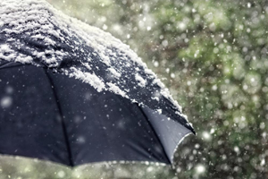
Yes, it’s snow! For tonight and Monday. Locations: Lower Mainland, Greater Victoria, Southern Gulf Islands, Howe Sound, and Sunshine Coast near Gibsons.
The details:
Snow accumulations: 2 to 10 cm.
Time span: Tonight and Monday morning, potentially impacting the morning commute.
Remarks: A weather system will approach the south coast tonight, bringing snow to the region. Snow will start over Vancouver Island this evening and spread to the mainland overnight. Depending on location, the snow is expected to taper off or transition to rain mixed with wet snow sometime near midday on Monday.
With snow levels reaching near sea level, snowfall accumulations of 2 to 5 cm are expected for most regions with higher amounts up to 10 cm over higher elevations and for Howe Sound.
Be prepared for changing weather conditions during the morning commute on Monday. Please continue to monitor alerts and forecasts issued by Environment Canada.
To report severe weather, send an email to BCstorm@ec.gc.ca or tweet reports using #BCStorm.


