


Thursday July 7, 2022 | PORT RENFREW, BC
by Mary P Brooke | Island Social Trends
A public information session on tsunami risk was held in Port Renfrew yesterday.
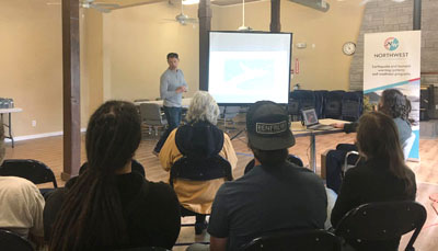
Organized by Juan de Fuca Emergency Program Coordinator Jeri Grant, the session featured three speakers.
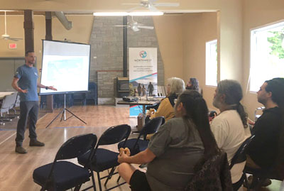
Teron Moore (currently Director of Risk Reduction and Community Resilience with the Canadian Red Cross) and Jonathan Reimer (Project Manager, Electoral Area Fire and Emergency Programs, CRD) joined Grant to address about 20 people from the local communities of Port Renfrew and Pacheedaht First Nation.
Moore used to be the seismic specialist for Emergency Management BC (EMBC). He then moved on to Ocean Networks Canada and is now a private consultant operating at NSC Seismic Consultants.
Exploring Tsunami risk:
The day’s agenda on July 6 included:
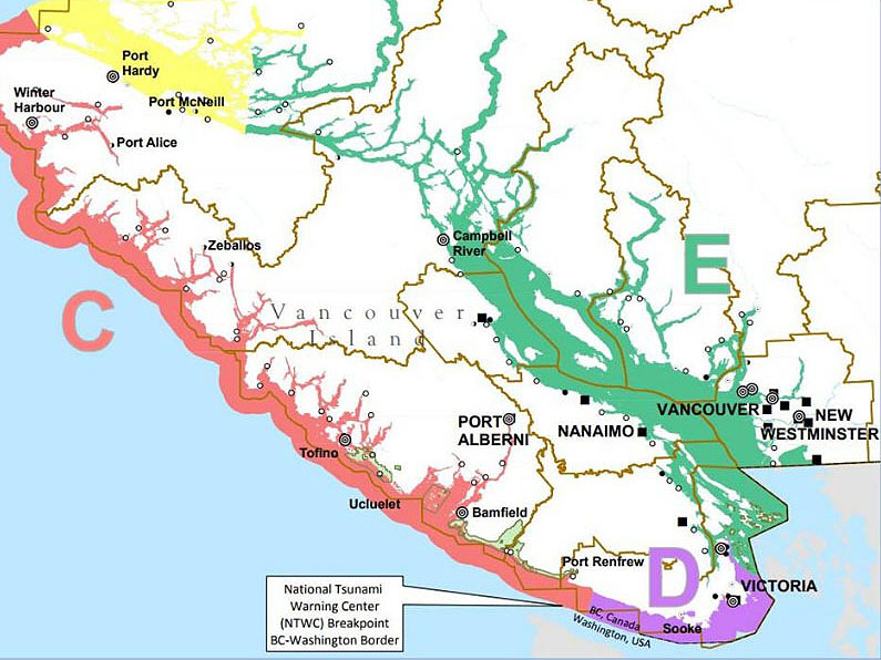
- Earthquake and Tsunami risk briefing
- Tsunami inundation zone mapping
- Local tsunami sirens – testing schedule and activation (siren testing is on the first Wednesday of each month at 1 pm)
- What to do, where to go
- Personal preparedness
- Shakeout BC (annual province-wide earthquake drill)
There was also a Q&A and lunch.

About the Juan de Fuca Emergency Program:
Ms Grant has been coordinating the Juan de Fuca Emergency Program since around 2011. The presentations are often collaborative with other regions (e.g. District of Sooke).
Juan de Fuca is part of the Capital Regional District (CRD), located on either side of Sooke… East Sooke on the east of Sooke just west of Metchosin, and west of Sooke out to Port Renfrew.

For people on social media, the Juan de Fuca Emergency Program does regular posts on Twitter @jdfemerg . That’s a good platform to follow, should there ever be a need to get real time updates about emergencies in the Juan de Fuca area(s) or beyond.
===== RELATED:
Port Renfrew & Sooke Elementary top SD62’s seismic mitigation list (June 14, 2022)
BC launches preparedness plan for heat events (June 8, 2022)
Alert Ready test on May 4, 2022 (May 4, 2022)
Drop, Cover & Hold On for ShakeOutBC Oct 21 (October 20, 2022)
Boil water advisory for Port Renfrew (May 19, 2021)
Tsunami dry run in Metchosin July 9 (July 8, 2020)
===== ABOUT ISLAND SOCIAL TRENDS:

Island Social Trends covers news of the west shore and South Vancouver Island, with articles posted at islandsocialtrends.ca. Anyone can visit to read the news there.
Subscriptions available free, as well as Economy & Premium paid subscriptions for additional in-depth news offerings.
Island Social Trends has covered news of the west shore since 2008 (previously MapleLine Magazine 2008-2010, Sooke Voice News in print 2011-2013, and West Shore Voice News in print/PDF 2014-2020), going fully online mid-2020.