

Thursday January 2, 2020 ~ GREATER VICTORIA
~ West Shore Voice News
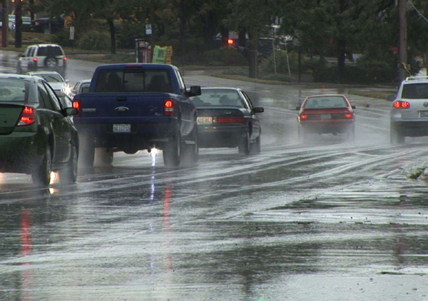
Environment Canada issued a Special Weather Statement’ for Greater Victoria at 10:55 am this morning, Thursday January 2 regarding a “strong Pacific storm” being on the way for this afternoon and Friday.
The statement covers what Environment Canada calls the BC coastal area.
“The storm will approach the coast today. Precipitation has begun over Vancouver Island and will spread to the south coast early this afternoon. Strong southeasterly winds will also develop this afternoon,” it was stated in the weather forecast.
Initially temperatures will be cold enough to allow some of the precipitation to start as wet snow over Vancouver Island and higher elevations of the south coast.
By this evening warm air accompanying the storm will drive freezing levels and temperatures higher so that precipitation changes to rain for most communities. The exception may be Whistler and the Sea to Sky Highway from Squamish to Whistler where snow could persist longer.
The heavy rain and strong winds continue all day on Friday. The highest rainfall amounts will be over the central coast, north and west Vancouver Island. Areas of Squamish, northern sections of Metro Vancouver, and the Fraser Valley will also see significant amounts of rainfall.
In areas where snow does accumulate, a higher chance of localized flooding is possible due to rain on snow.
====== LINKS:
To report severe weather, send an email to BCstorm@canada.ca or tweet reports using #BCStorm .